

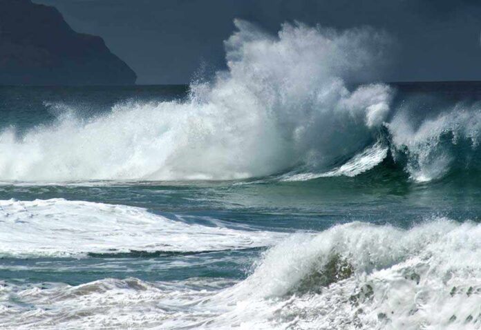
A Category 5 hurricane with winds near 165 mph is churning just off Mexico’s southwest coast, bringing life‑threatening rain and landslide risk through Thursday.
Story Snapshot
- The National Hurricane Center classified Polo as a Category 5 hurricane.
- Maximum sustained winds were reported near 165 mph, with higher gusts.
- Forecasters expect the core to track near the coast while remaining offshore.
- Heavy rain threatens flash floods and landslides in southwest Mexico through Thursday.
What Officials Confirm About Hurricane Polo Right Now
The National Hurricane Center (NHC) said Tuesday that Hurricane Polo reached Category 5 strength on the Saffir–Simpson scale. The agency reported maximum sustained winds near 165 miles per hour with higher gusts. The center stated the hurricane’s core would stay near the coast of southwestern Mexico through midweek, while the track was forecast to remain offshore. These details came in public and intermediate advisories that anchor the current risk picture for coastal communities.
NHC forecasters warned that heavy rainfall tied to Polo will impact coastal southwest Mexico through Thursday. That means flash flooding and mudslide dangers in steep terrain and river valleys. Localized impacts can arrive well away from the storm’s center. Even with the core offshore, rain bands can push across the coast, soak saturated hillsides, and trigger fast rises in streams and small rivers. The hazard window extends as the storm crawls along the shoreline.
How Fast Intensification Raised the Stakes
Reporting described an extreme 24-hour jump from a tropical storm to a Category 5 hurricane, driven by hot water and favorable winds aloft. One outlet cited a wind increase of about 110 miles per hour over roughly a day, calling Polo one of the strongest eastern Pacific storms on record. Such bursts complicate planning because community lead time shrinks. People who thought they had days to prepare can suddenly face a major hurricane’s outer bands at their doorstep.
Some coverage referenced peak sustained winds near 180 miles per hour and a very low central pressure based on aircraft data. Advisory text around the same period listed 165 miles per hour. These shifts reflect live updates as new observations arrive, not a disagreement about the storm’s danger. During rapid intensification, measured winds can ramp quickly between bulletins, which can make headlines look uneven as numbers change in real time.
Where the Risk Is Highest and What To Watch
Coastal states such as Guerrero and Michoacán face the greatest rain risk through Thursday, according to forecast discussions and media briefings. Officials highlighted the potential for flooding and landslides, especially in areas with recent rain or burn scars. People living near slopes, canyons, and small creeks should watch for fast-changing water levels and heed local civil protection orders. Offshore tracking lowers wind damage inland but does not remove the rain threat along the coast.
🚨 Hurricane Polo Update: One of the strongest storms ever is churning off Mexico’s Pacific coast, raising concerns as it intensifies. 🌊🌀 Get the latest details, track the storm and see what’s next 👇 https://t.co/Wh4tN1phOA #HurricanePolo #Mexico #Storm pic.twitter.com/Tx8pZd6U16
— La Amelia (@LaAmeliajo) September 23, 2026
Track uncertainty remains in play. The National Hurricane Center said Polo’s core is expected to remain offshore while staying near the shoreline, and private weather outlets noted that steering currents could still shift. Small changes in the path can move heavy rain bands over new areas or keep them parked over the same spots. That is why forecasters stress impacts, not only the line on the map. People should focus on rain totals and ground conditions, not just wind speed numbers.
Why This Event Matters Beyond One Coastline
Polo’s burst fits a well-known pattern: rapid intensification is when a storm’s top winds jump by at least 30 knots in 24 hours. That standard, used by the National Hurricane Center, helps explain how a storm can surprise communities between advisories. Researchers and forecasters have tracked more of these fast ramp-ups in some ocean basins in recent decades. Whatever the driver, the public takeaway is simple: prepare early, because the window to act can close fast.
Sources:
nypost.com, nhc.noaa.gov, cnn.com, weather.com, en.wikipedia.org, foxweather.com, congress.gov